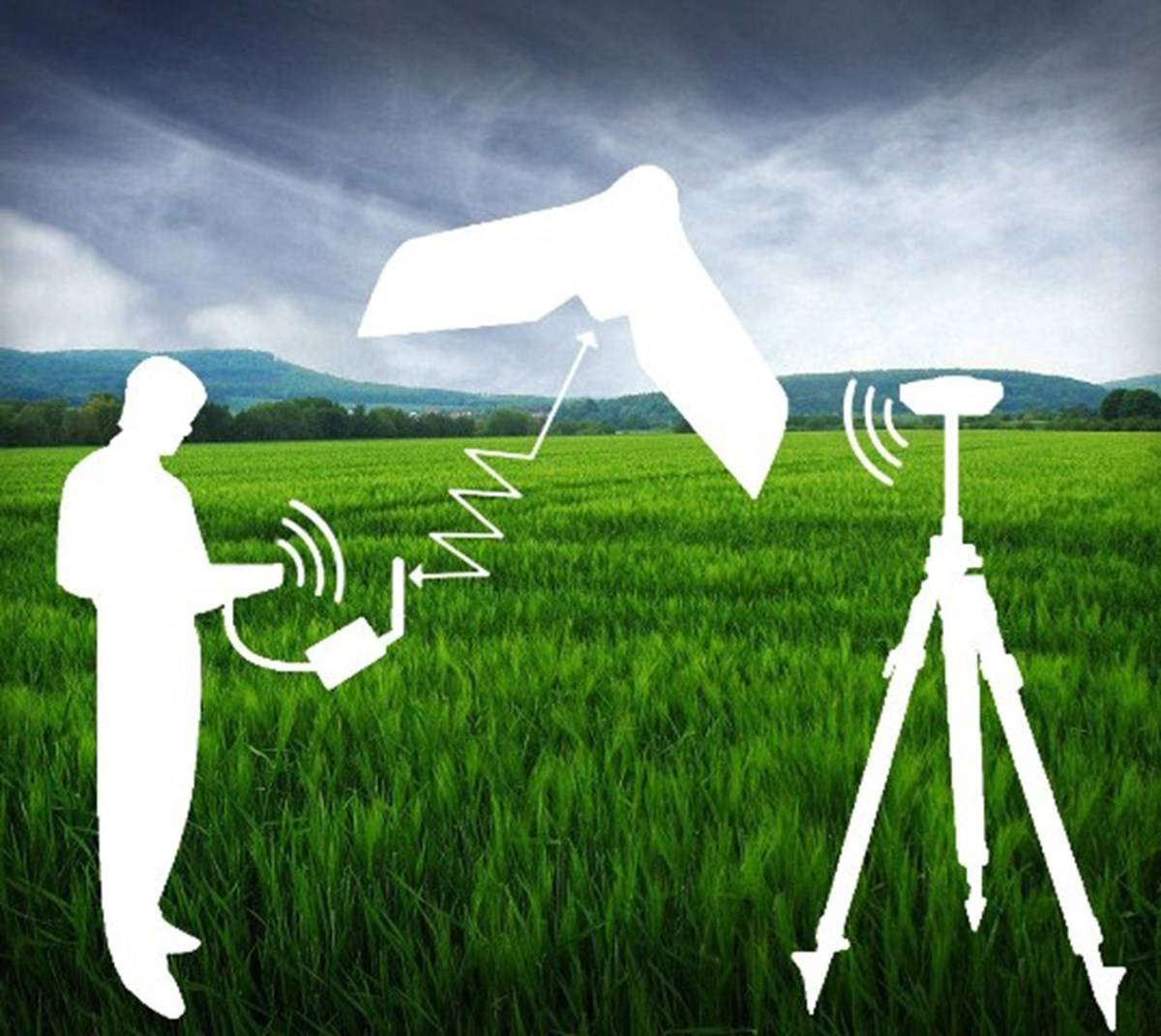
What all a farmer needs to today for taking good care of his produce ? Soon, the answer could be “ A feature Phone”. Microsoft and drone maker, DJI are partnering to help farmers quickly get the information related to soil moisture in their fields and any pest infestation, without the need to spend hours and days spent walking or driving on the fields.
The land size is squeezing, and hence the arable land is. The exponential growth in population is dependent on the limited food that is available and India is grappling with a bigger problem of not producing enough yields, below the world average. The utmost focus is on increasing the productivity.
DJI’s drones provide real-time generation of aerial images, which are used by Microsoft’s machine learning algorithms on the Azure IoT Edge to create detailed heatmaps. The maps are transmitted using TV white space (TV white spaces are unused TV broadcast spectrum, which is plentiful in rural areas where standard internet connections are often patchy) technology to the Azure IoT edge device located on the farm. These heatmaps enable farmers with everything, including whether the soil temperature is ripe for seed germination, and on quickly identifying crop stress and disease that may reduce yield.

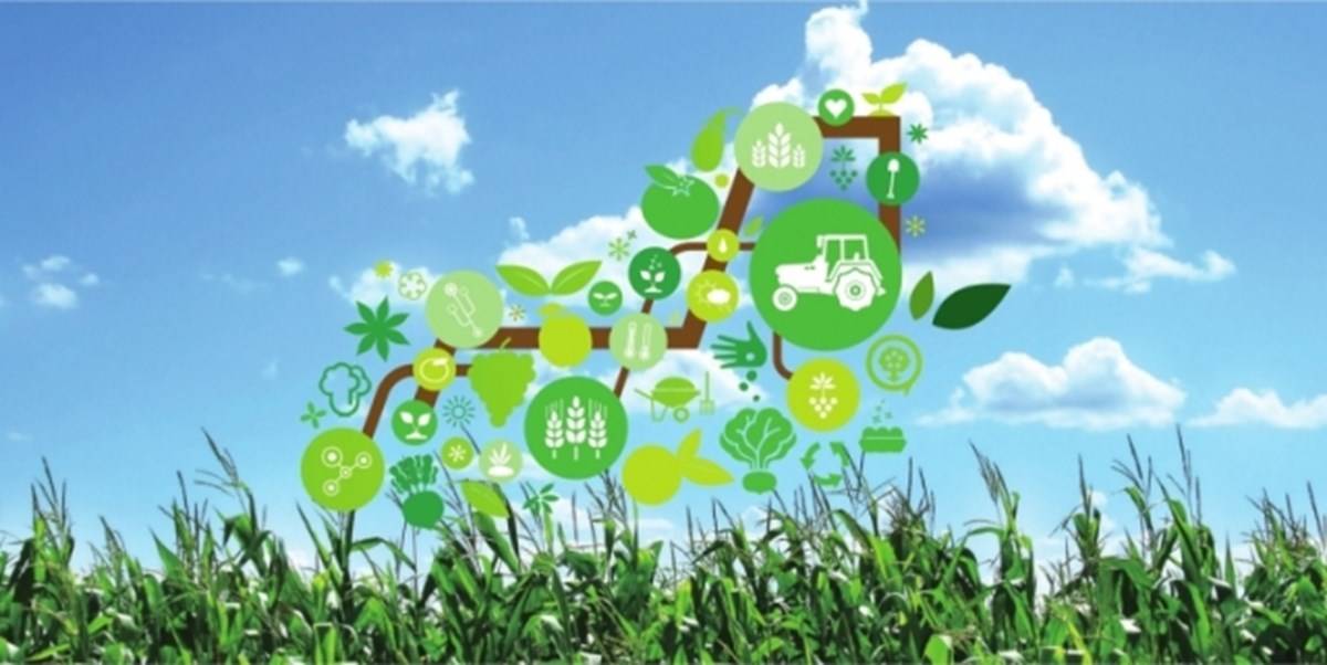
In India, Microsoft in collaboration with ICRISAT is also using technologies like Artificial Intelligence (AI), Cloud, Machine Learning, satellite images and advanced analytics to empower small-holder farmers to increase their income through higher crop yield and greater price realization. Under this program with farmers in Andhra Pradesh, farmers received text messages on sowing advisories such as sowing date, land preparation, soil test based fertilizer application, among others.
AI-based sowing advisories has lead to 30% higher yields for these farmers. This collaboration will enable farmers to use their resources – water, land, fertilizer – optimally. Farmers will be able to grow more crops and farm incomes will improve as well.
Inputs from : ICRISAT


