In winters, the presence of the Western Disturbance takes place over Indo Gangetic plains like Punjab, Haryana, Delhi, NCR, Uttar Pradesh, Bihar and Jharkhand.
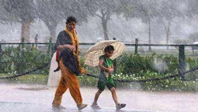
Though, every Western Disturbance does not induce a Cyclonic Circulation every time, but when it does, the result is prolonged rainy spell over the region.
The combination of these two systems was last seen around January 20, when rains included major portion of Punjab, Haryana, Delhi and Uttar Pradesh on the three consecutive days from 23rd-25th January.
However, rains started making an exit after January 25. Though, the remnants of the above combined systems moved across Uttar Pradesh and reached till Bihar, giving rains there. Adding to it, the period also marked the first rain over East Uttar Pradesh as well as Bihar at that time. The spell had resulted in no way in bringing down the rain deficiency over these two regions even to a slight extent.
Interestingly, this deficiency is still in trend and currently also East Uttar Pradesh is standing deficient at 31% while Bihar at 61%. On the other hand, deficiency is under normal category over West Uttar Pradesh at 14% while Punjab is only 11% deficient.
Now with some systems developing, there are expectations of another spell of rain to soon come over Indo Gangetic plains.
The Western Disturbance will take a form over the Western Himalayas on February 4. Most probably this will induce a Cyclonic Circulation over West Rajasthan and adjoining Pakistan. Thus, light rain is expected over Delhi and adjoining areas around February 4.
The system will gain more strength on February 5 and hence rains are expected to cover a larger area of Punjab, Haryana, Delhi, West Uttar Pradesh and even some parts of Rajasthan and Madhya Pradesh.
However, on February 6, these rains are expected to spread up till East Uttar Pradesh and Bihar regions, with intensity and spread remaining more on February 7.
February 8 onward, rains will start vacating western parts of the country like Punjab, Haryana and Delhi. Though, these will continue over eastern parts of the country including Uttar Pradesh, Bihar, Jharkhand, Odisha and Gangetic West Bengal.
On February 9, rains will completely vacate entire Indo-Gangetic plains of the country. Thereby, weather is once again expected to go completely dry here.
Indo Gangetic plains have remained 99% rain deficient till now. Upcoming rainy spell will be marked as first good winter spell for the region, which is expected to bring down deficiency to some level.
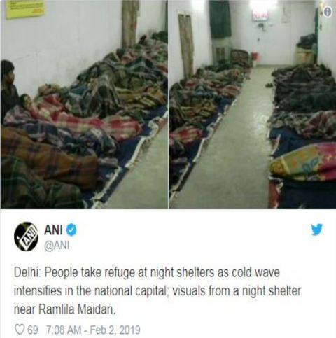
Coming back to Delhi cold, the cold wave here forced the people to take refuge in the night shelters. According to the records, the maximums and minimums for the day were 20°C and 11°C, respectively.

However, the minimum now have dropped by 3°C and is around 8°C. The lowest visibility was recorded today at Palam Airport at 150 metres from 4.30 am to 8.00 am and the sky also remained obscured.
Around 13 trains coming to Delhi got delayed today as thick blanket of fog engulfed the national capital territory and its adjoining states.
The chilly winds have started bringing down the minimum over Delhi and adjoining areas. Slow wind, drop in temperature and availability of humidity in the atmosphere leads to the formation of fog.
According to SAFAR, major pollutant PM 2.5 was at 131 and PM 10 was at 202, in 'very poor' and 'moderate' categories, respectively. In Lodhi Road area, PM 2.5 was at 234 while PM 10 was at 230, both of which fall in the 'poor' category.
Source- skymetweather.com


