As per the latest IMD weather report, the northern limit of monsoon has passed over southern Gujarat, northern Maharashtra and northern Andhra Pradesh about 5 days earlier than normal.
Moreover, it is likely to advance into the remaining parts of Maharashtra and Arabian Sea, some more parts of Gujarat, remaining parts of Telangana and Andhra Pradesh, some parts of Madhya Pradesh and East Uttar Pradesh, and the entire Odisha, West Bengal, Jharkhand, Chhattisgarh and Bihar during the next 2 days.
Apart from this, a cyclonic circulation is present over east- central and surrounding regions of northeast Bay of Bengal at middle tropospheric levels. Under its influence, a low-pressure area is expected to build over north Bay of Bengal and surrounding areas around the 11th of June, 2021. It is predicted to become marked and move west-northwestwards across north Odisha, Jharkhand and north Chhattisgarh during the subsequent 3 days.
Rainfall in India
Due to this, fairly widespread to widespread rainfall activity, with isolated to scattered heavy to very heavy rainfalls, are very likely over most parts of East and adjoining Central India from 10th June onwards.
In addition to the low-pressure area, the westerly winds also strengthen along the west coast. This will cause heavy rainfall activity over the coastal districts of Maharashtra from June 10-15, and over coastal Karnataka during June 12-15. Isolated heavy rainfall is very likely over Kerala during June 11-15, while isolated extremely heavy falls will bombard Konkan during June 12-15.
As mentioned above low-pressure and its remnant move west-northwestwards, they will give rise to fairly widespread to widespread rainfall activity, with isolated heavy falls, over Northwest India during June 12-14.
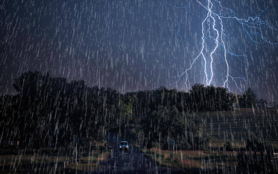
Ahead of the monsoon onset, fairly widespread thunderstorm activity along with frequent cloud to ground lightning is also on the cards across Madhya Pradesh, Vidarbha, Chhattisgarh, Odisha, Bengal, Jharkhand and Bihar during the next two days.
Dust-raising strong surface winds (30-40 kmph) are very likely to prevail over the plains of Northwest India on June 10. Scattered rain with lightning is on the cards over Himachal Pradesh. Isolated rain with lightning is possible over Haryana, Gujarat, Tamil Nadu and Lakshadweep.


