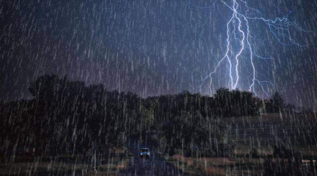
Northeast part of India will continue to get rainfall along with thunderstorms on Wednesday (15th May) because of the weather instability caused by the convergence of westerly as well as southwesterly storms. Moderately widespread rain and thunderstorms are expected over Arunachal Pradesh & Sikkim. In addition, Assam, Tripura and Meghalaya may also experience widespread showers and thunderstorms.
West Bengal, Manipur, Nagaland and Mizoram will also get scattered rainfall and thunderstorms for the next five days. Other eastern regions of Odisha, Chhattisgarh, Bihar and Jharkhand will also see isolated rainfall and thunderstorms due to similar weather instability.
The remains of the western disturbance will continue to bring isolated rainfall /snowfall and thunderstorms in Jammu & Kashmir, Himachal Pradesh & Uttarakhand today. Other plains of north India that includes Haryana, Punjab, Rajasthan and Uttar Pradesh can also observe similar wet weather conditions.
Going towards southern part of India, the trough that extends across Telangana & Kanyakumari region will give rise to moderately widespread rain & thunderstorms in Kerala. Isolated rainfall is also likely over Karnataka, Tami Nadu and Andaman & Nicobar Islands.
Maximum temperatures will be 2° - 4°C below the normal over northern plains due to the prevailing cloudy conditions. In the meantime, maximum temperatures of 40°C or more are likely over most parts of Madhya Pradesh, Gujarat, Maharashtra, Uttar Pradesh, Chhattisgarh, Odisha, Karnataka, Andhra Pradesh & Telangana. Air quality will be poor to very poor across the nation, especially in major cities like the National capital.

Due to isolated rainfall and thunderstorms, temperature in many parts of India has slightly come down in the last 3 days. Last week, 16 states witnessed severe heat with daytime temperatures crossing 40°Celcius. But, the relief may be for a short time as the mercury is set to increase again in the second half of the week.
Since the beginning of this week, a western disturbance or WD in the north and many cyclonic circulations in several parts of the country has brought isolated rainfall across India. The National Capital and adjoining areas witnessed light to moderate rain from Monday. The maximum temperature in Delhi has gone down to 38°C on Tuesday from 43°C last week. The temperatures may cross 40°C again by the end of this week. Many parts of northeast India have received over 20 mm rain on till Tuesday.
Meanwhile, monsoon rains will reach the country's southern coast in the first week of June, most probably on 4th. It will deliver less rainfall than average this year, according to a private weather forecaster, lowering the prospects of high farm & economic growth in the Dollar 2.6 trillion economy.
It must be noted that the monsoon rains, which is the livelihood for the nation's farm-dependent economy usually arrive on the southern tip of Kerala around 1st June and move away from Rajasthan by September. Skymet Managing director, Jatin Singh said, "Onset of monsoon will be around 4th June. It seems that early advancement of monsoon over peninsular India is going to be slow”.


