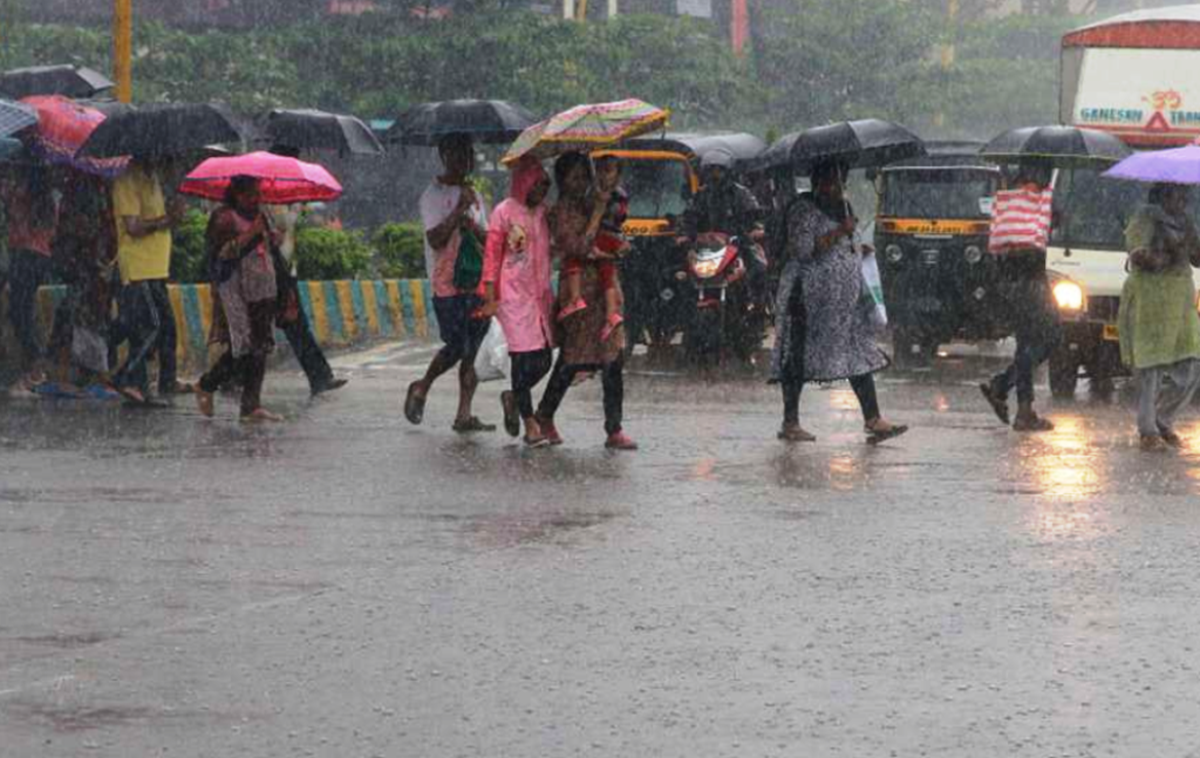
The western part of monsoon trough lies close to its normal position and eastern part is along the foothills of the Himalayas. In addition, the convergence of moist southerly/southwesterly winds from Bay of Bengal over Northeast & adjoining East India and from Arabian Sea over northwest India at lower tropospheric levels very likely to continue during next 2-3 days, says the IMD weather forecast in its morning bulletin.
Assam May Accentuate Existing Flood Conditions
The intense spell over Northeast India may accentuate existing flood conditions and lead to landslides in some areas of Northeastern states and Sub-Himalayan West Bengal & Sikkim.
Heavy Rain Lashes over Delhi-NCR Yesterday
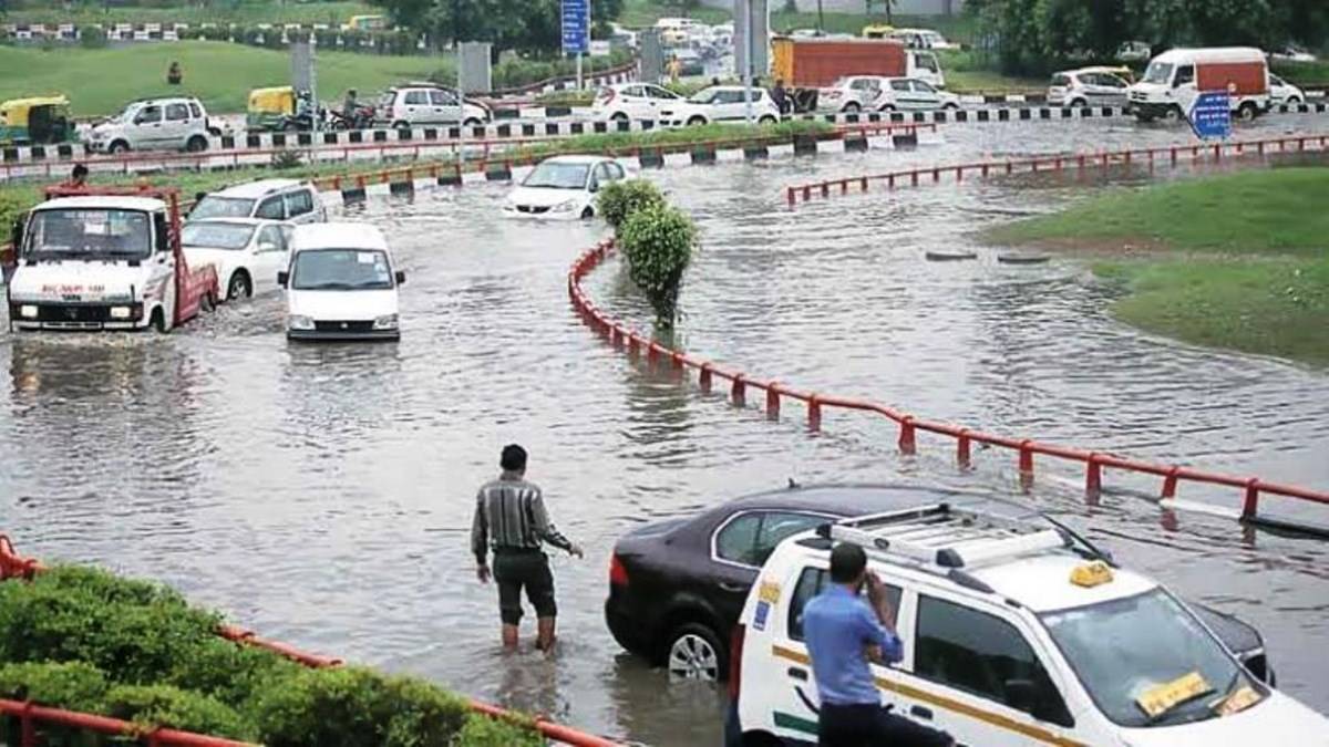
The national capital and its surrounding areas witnessed heavy downpour on Sunday morning, bringing down the mercury level by several notches, the Indian Meteorological Department said. Till 8:30 am this morning, the Safdarjung Observatory recorded 74.8 mm of rainfall. Delhi also saw heavy water logging in low-lying areas and roads.
Extremely Heavy Rainfall over These States Today
Under the influence of the above meteorological conditions:
i) Fairly widespread to widespread rainfall with isolated heavy to very heavy falls very likely over Jammu & Kashmir, Ladakh, Gilgit- Baltistan & Muzaffarabad, Himachal Pradesh, Uttarakhand, Punjab, Haryana, Chandigarh & Delhi and Uttar Pradesh during next 2 days and rainfall intensity & distribution very likely to decrease significantly thereafter.

ii) Widespread rainfall activity with isolated heavy to very heavy falls very likely over Bihar, Sub-Himalayan West Bengal & Sikkim, Arunachal Pradesh, Assam & Meghalaya and Nagaland, Manipur, Mizoram & Tripura during next 3 days and rainfall intensity very likely to decrease thereafter. Isolated extremely heavy falls also very likely over Assam & Meghalaya during next 2 days; over Arunachal Pradesh and Sub- Himalayan West Bengal & Sikkim during next 24 hours.
Intense thunderstorm & lightning potential zone:
Moderate to severe thunderstorm & lightning at isolated places very likely over
Punjab, East Rajasthan, Uttar Pradesh, Bihar, Madhya Pradesh, Vidarbha, Odisha, Jharkhand, Chhattisgarh, West Bengal, Telangana, Kerala & Mahe, Lakshadweep and northeastern states during next 12 hours.
Maximum & Minimum Temperature in India
Maximum temperatures were appreciably above normal (3.1°C to 5.0°C) at most places over East Rajasthan; at many places over Uttarakhand, Madhya Pradesh and Gujarat region while minimum temperatures were appreciably above normal (3.1°C to 5.0°C) at a few places over East Madhya Pradesh; at isolated places over Jammu & Kashmir, Ladakh, Gilgit-Baltistan & Muzaffarabad, West Rajasthan and Uttar Pradesh; above normal (1.6°C to 3.0°C) at many places over West Madhya Pradesh and East Rajasthan.


