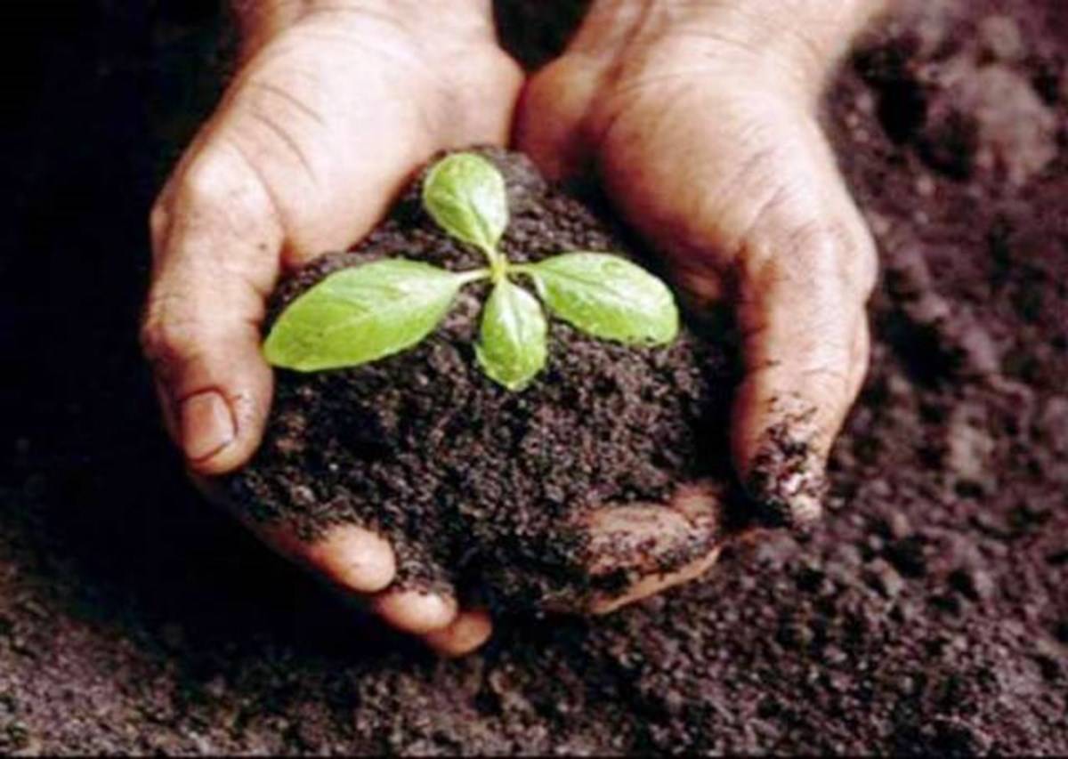
Soil being one of the most important bases for the production of food crops has been eyed by the government by introducing schemes which encourages nutrition and good health of soil. The government’s massive scheme to analyze the soil quality of farms across the country may get a technology boost by using real time satellite data instead of using soil samples for the determination of quality. The Department of Science and Technology (DST) is looking to link a programme with a research project at the Indian Institute of Technology Bombay that uses sophisticated imaging techniques and can picture the nutrient balance of a patch of land without collecting soil sample.
Hyper spectral imaging which means analyzing extremely detailed images of an object frequently to the scale of nanometres and then reconstructing its constituent elements as explained by D. Ramakrishnan, Professor, IIT Bombay’s Earth Sciences Department. Using custom-developed algorithms, satellite-images, or those taken from low flying planes or drones, can be used to calculate the proportion of nitrogen, potassium and phosphorous — the three most vital nutrients — as well as other minerals in the soil and be used to gauge its health. This kind of spectroscopy can be used to analyze soil health, though it has wider applications in geology, characteristics of air pollution etc.
This group is attempting to build a database of soil samples across the country and has gleaned about a third of their requirements. In about 2.5 years a complete database of samples across India is thought to have set up. However to be able to map the country effectively satellite pictures would be needed. Currently no Indian satellite has the capability to take nano-scale pictures resolution.


