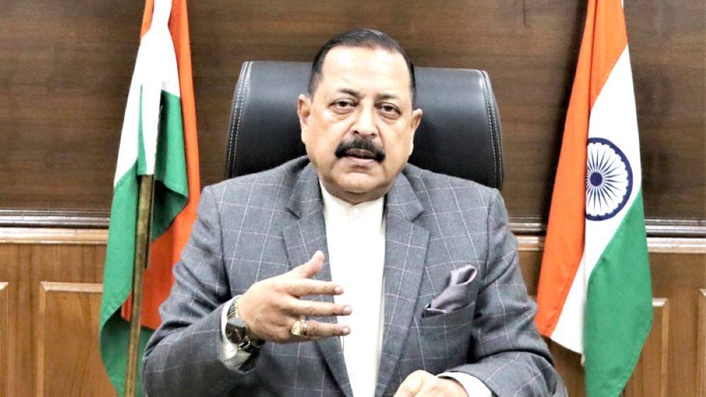
Dr. Jitendra Singh, Union Minister of State (Independent Charge) Science & Technology; Minister of State (Independent Charge) Earth Sciences; and Minister of State (Independent Charge) Personnel, Public Grievances, Pensions, Atomic Energy, and Space, stated that start-ups in new emerging technologies are critical to India's future economy.
Dr. Jitendra Singh, who launched the "Geospatial Hackathon" this morning, stated that the Hackathon will promote innovation and start-ups in India's geospatial ecosystem. He invited the nation's youth to participate in and contribute to the development of the country's geospatial economy. According to the Minister, half of our population is under 40 years old and very aspirational, and it is clear that the Indian Start-Up economy reached a major milestone when the 100th Indian Start-Up joined the Unicorn club in 2022.
Dr. Jitendra Singh thanked the Ministry of Science and Technology, the Survey of India, IIIT Hyderabad, and Microsoft India for organizing, participating in, and designing the Geospatial Hackathon, which he said will serve as a formal Launchpad to India's geospatial strategy and policy, which aims to make India a global leader in the geospatial sector in the future and truly Atmanirbhar.
According to Dr. Jitendra Singh, the goal of this hackathon is to foster collaboration not only between the public and private geospatial sectors, but also to strengthen our country's geospatial Start-Up ecosystem. He added that it is critical for our country to have reliable geospatial information for effective policy development, programming, and project operation in order to meet the Sustainable Development Goals by 2030.
Dr. Jitendra Singh stated that, following the opening of the Space Sector to private participation in 2020, the Modi Government has undertaken a number of initiatives to liberalize and democratize the geospatial sector. The Minister emphasized that by launching the National Geospatial Policy, India is promoting ease of doing business in the entire geospatial sector, which will catalyze the mission to build India's vibrant and globally competitive Geospatial ecosystem. "Geospatial technology is driving inclusivity across the nation, leaving no one behind," Prime Minister Narendra Modi said in his inaugural message to the United Nations World Geospatial Information Congress 2022.
The Survey of India is proposing a Geospatial Data Processing, Solution Development, and Servicing Challenge to encourage the adoption of modern geospatial technologies such as cloud, open APIs, drone-based mapping, and the sharing and integration of a wide range of data. The "Geospatial Hackathon" will conclude on March 10, 2023, with two sets of challenges- research challenge and startup challenge- to determine four winners for the best solutions to the Geospatial Select Problem Statements.
According to Dr. S. Chandrasekhar, Secretary, Ministry of Science and Technology, during the challenge, various geospatial datasets related to the problem statements will be made available to all participants for analysis and the creation of insightful data processing, solution, and servicing tools. He believes that the challenge, which is based on the concepts of "open innovation" and "open data sharing," will benefit stakeholders throughout India's geospatial community.
In his address, Sunil Kumar, Surveyor General of India, stated that incorporating innovative ideas and solutions from a diverse range of geospatial experts from academia, start-ups, and emerging technologists would aid in solving some of the most common problems faced by the Survey of India and other geospatial data-generating, solutions, and services providing agencies, as well as replicating successful ideas in product development for finding solutions to key challenges.


